
Since 2001, the founders of Exoduas have worked in the energy sector using field mapping and remote sensing technologies to improve safety and performance of our client's operations.
Our Mission
Our Mission is to be the industry leader in helping our clients to achieve their goals either utilizing our services or developing new technologies to help them achieve their goals.
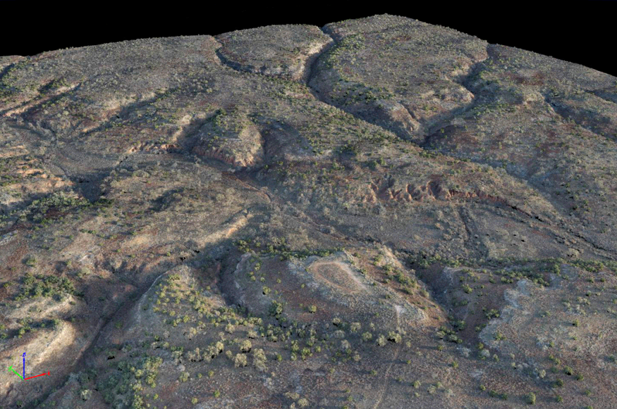
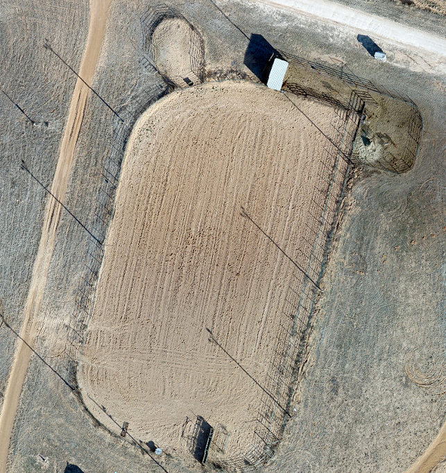
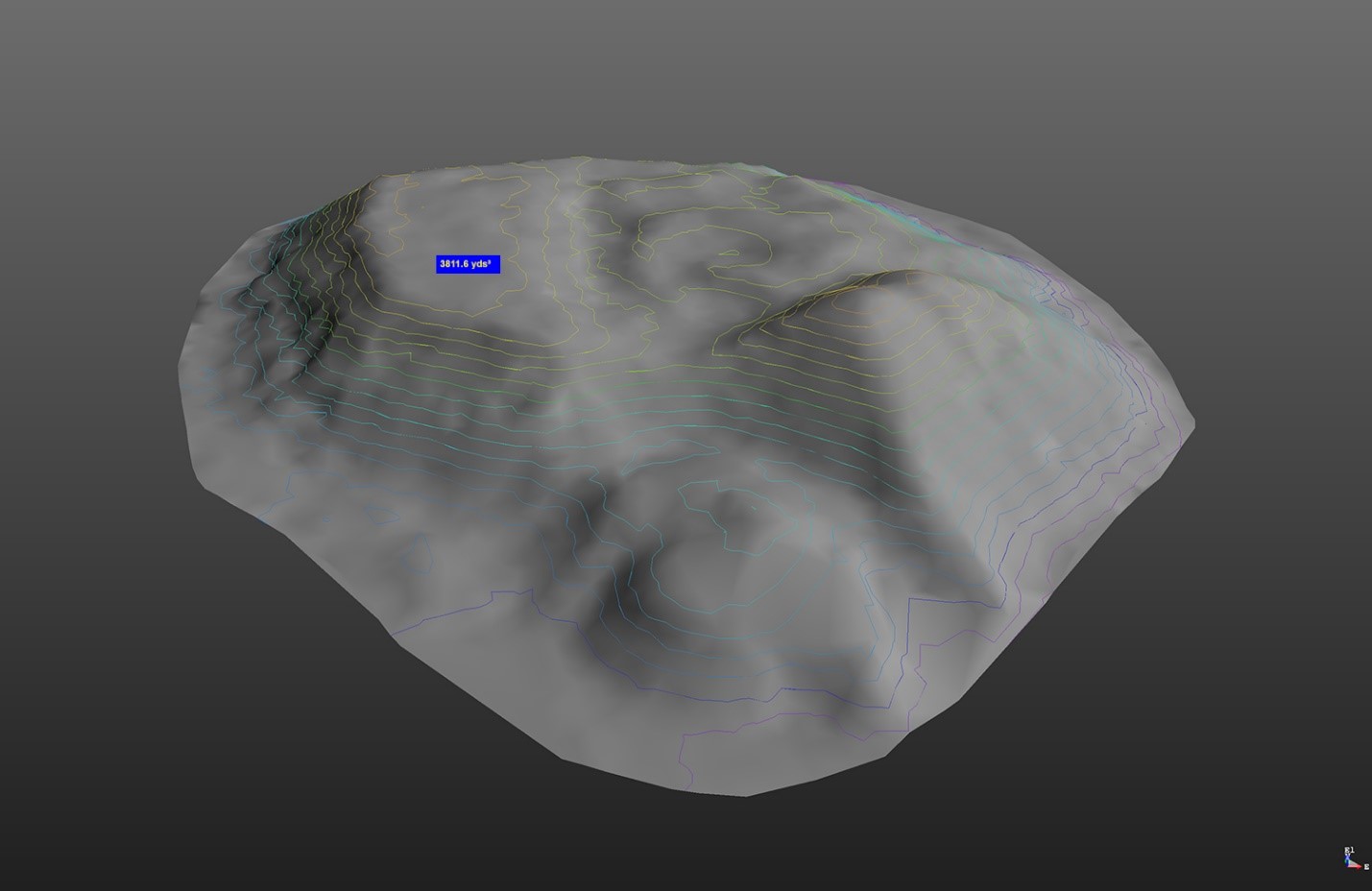
UAS Photogrammetry
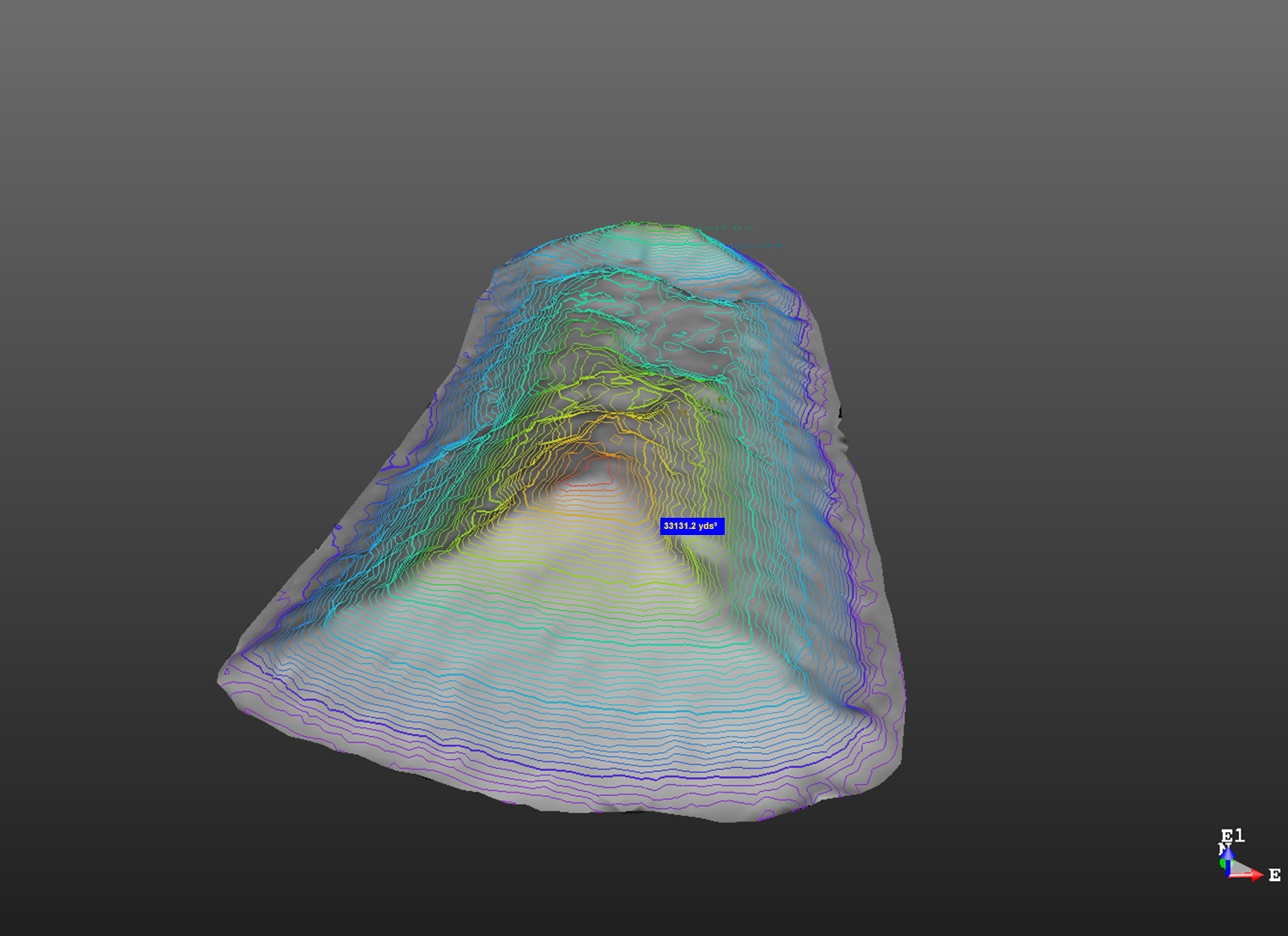
Utilizing multiple images from flying over an area and stitching them together to create orthomosaic imagery, point clouds, volumetric data, etc. This data can be used for multiple applications to help companies conduct their business safer and with more efficiency.
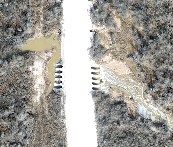
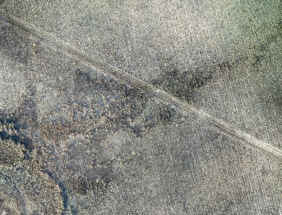
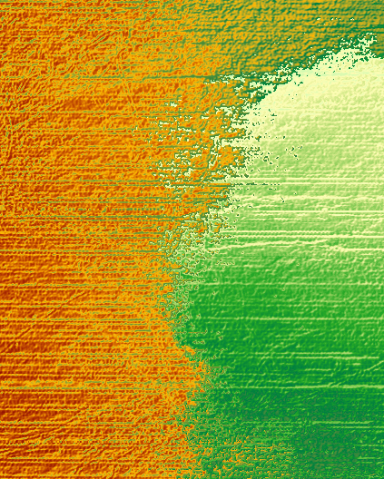
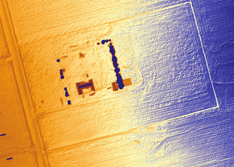
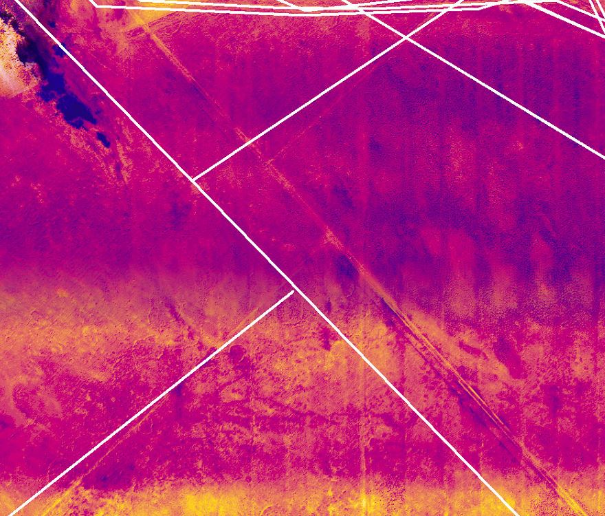
Radiometric Aerial Mapping
Utilizing a radiometric sensor can allow for the imaging of subsurface items that have radiated their heat signature to the surface for capture by sensor.


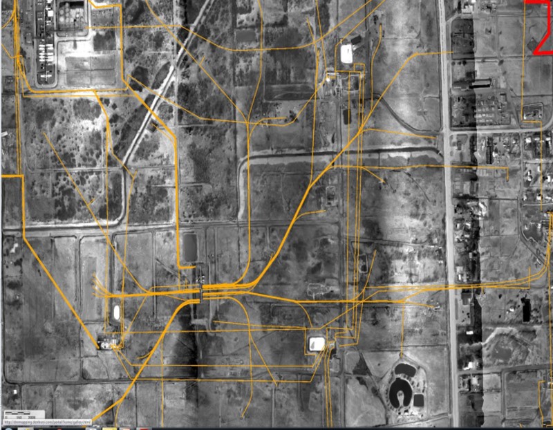
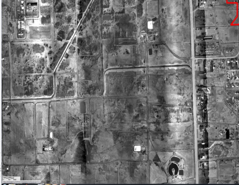

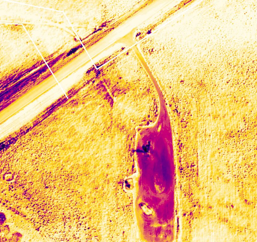
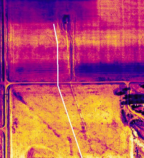
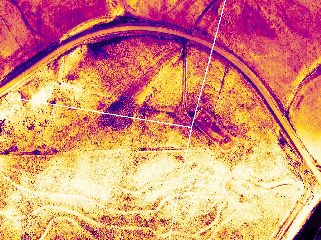
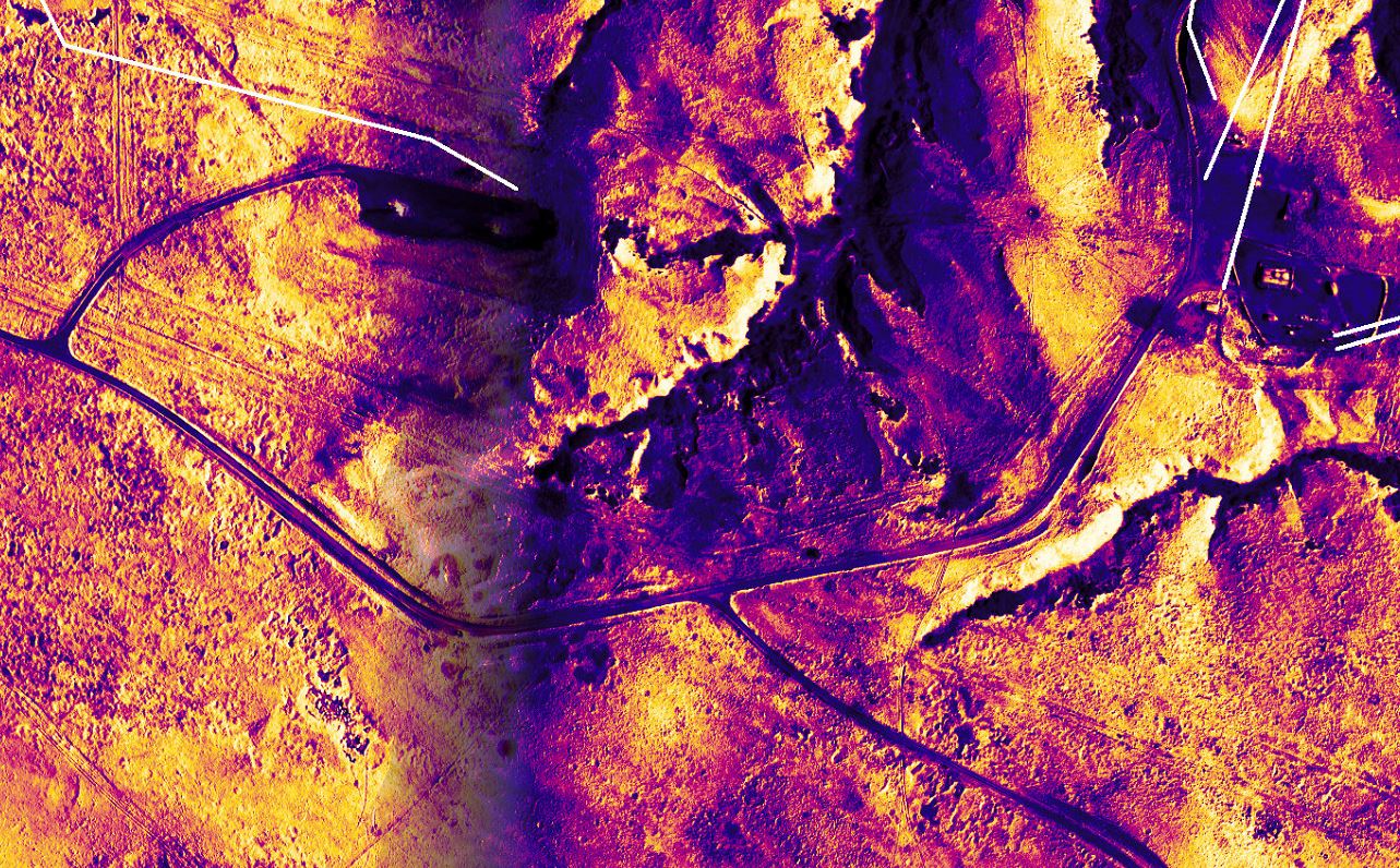
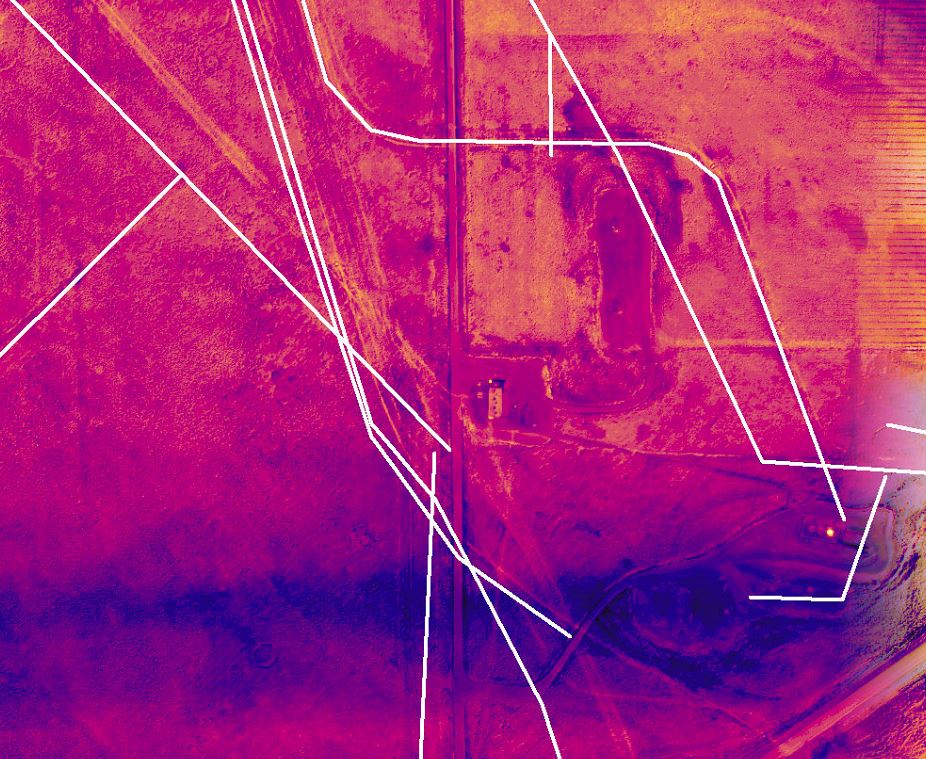
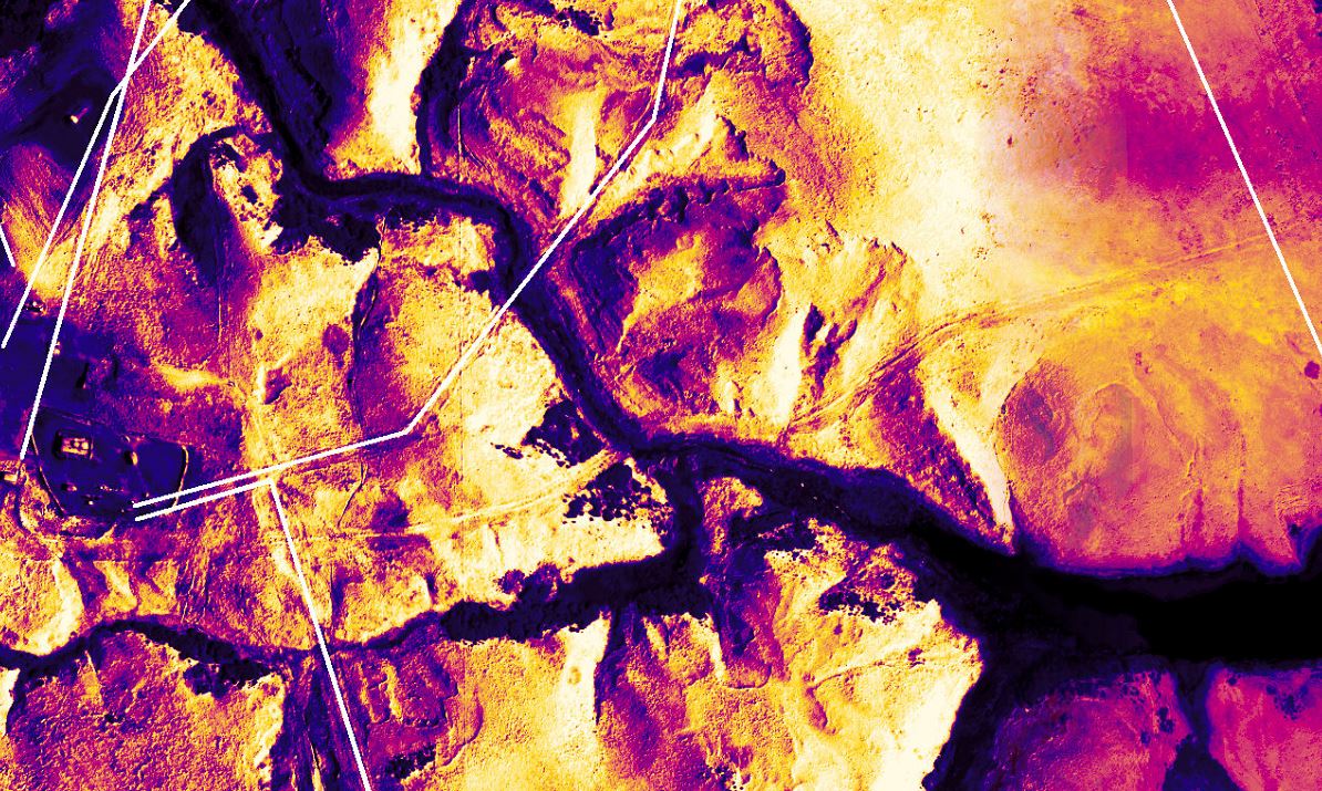
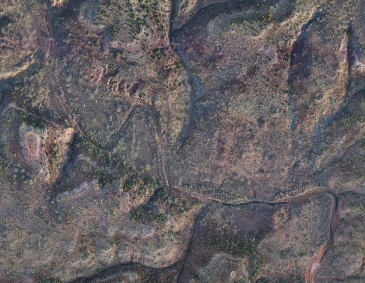
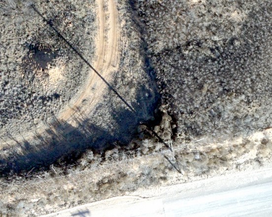
Radiometric sub-surface mapping of oil fields provides clients with confidence of flow line locations. Watch in the video for the red dashed lines. These are the locations that the client provided of where they thought they had flow lines. As you can see from the flashes back and forth there was more lines than they first thought. This technology can also provide RTK survey accuracy of the locations of lines. In some cases you can see the scars from where the ground was disturbed during installation of flow lines, however the exciting part is when you can not see the scar and still able to distinguish the signature of the flow line below the ground. See if you can spot the section that goes under the road.